Introduction to Landsat Remote Sensing Satellites
The Landsat Series - Multispectral Scanners - Thematic Mappers - Australian Data - Web Links
Multispectral Scanners (MSS)
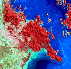
Landsats 1 to 5 deployed Multispectral Scanners (MSS) which recorded four spectral bands with an 80 m per pixel resolution. It provided information on the earth's surface in the visible and near infrared parts of the spectrum.

Note: The Enhanced Thematic Mapper Plus (ETM+) on the Landsat 7 spacecraft gathers data in effectively the same bands as the multispectral scanners, so coverage of Earth's surface in the MSS bands has been accumulating since 1972.
| Bands | Spectral Range (Microns) | EM Region | Generalised Application Details |
|---|---|---|---|
| 1 | 0.5 - 0.6 | Visible Green | Assessment of vegetation vigour, coastal water mapping |
| 2 | 0.6 - 0.7 | Visible Red | Chlorophyll absorption for vegetation differentiation |
| 3 | 0.7 - 0.8 | Near Infrared | Delineation of water bodies, biomass surveys |
| 4 | 0.8 - 1.1 | Near Infrared |
Other Characteristics
| Ground Sampling Interval (pixel size) | Landsat 1-3 | 56 x 79 m |
| Landsat 4,5 | 57 x 82 m | |
| Scene size | 184 x 172 km | |
| Quantisation | 8 bit (256 levels) | |